"Elevated" Space Thumbnail News

"Elevated" Space


View the 50 Wards exhibit.
Follow John on Instagram.
All Images © John K. Zacherle

A photo exploration of Chicago's 'L'

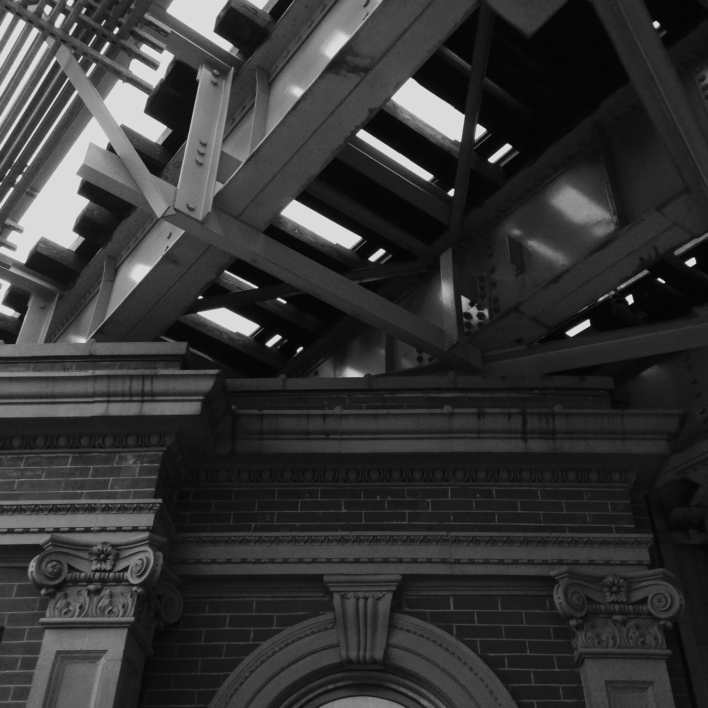
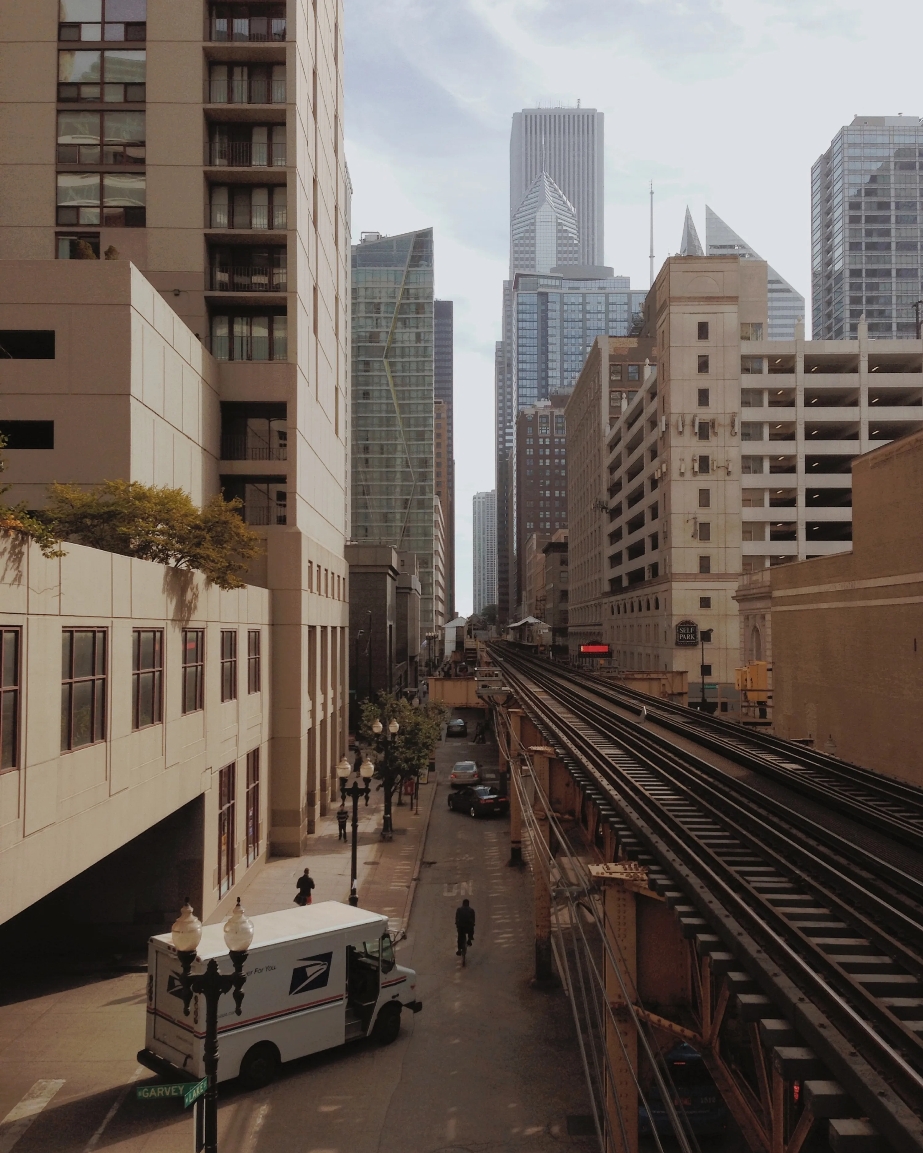
Within the architecture community, Chicago is celebrated as the city that pioneered the first high-rises and the home of modern “masterpieces” by legendary architects such as Louis Sullivan, Frank Lloyd Wright, and Mies van der Rohe. But, for the residents of Chicago, the most identifiable and defining aspect of city’s built environment is arguably a piece of infrastructure: The 'L'.

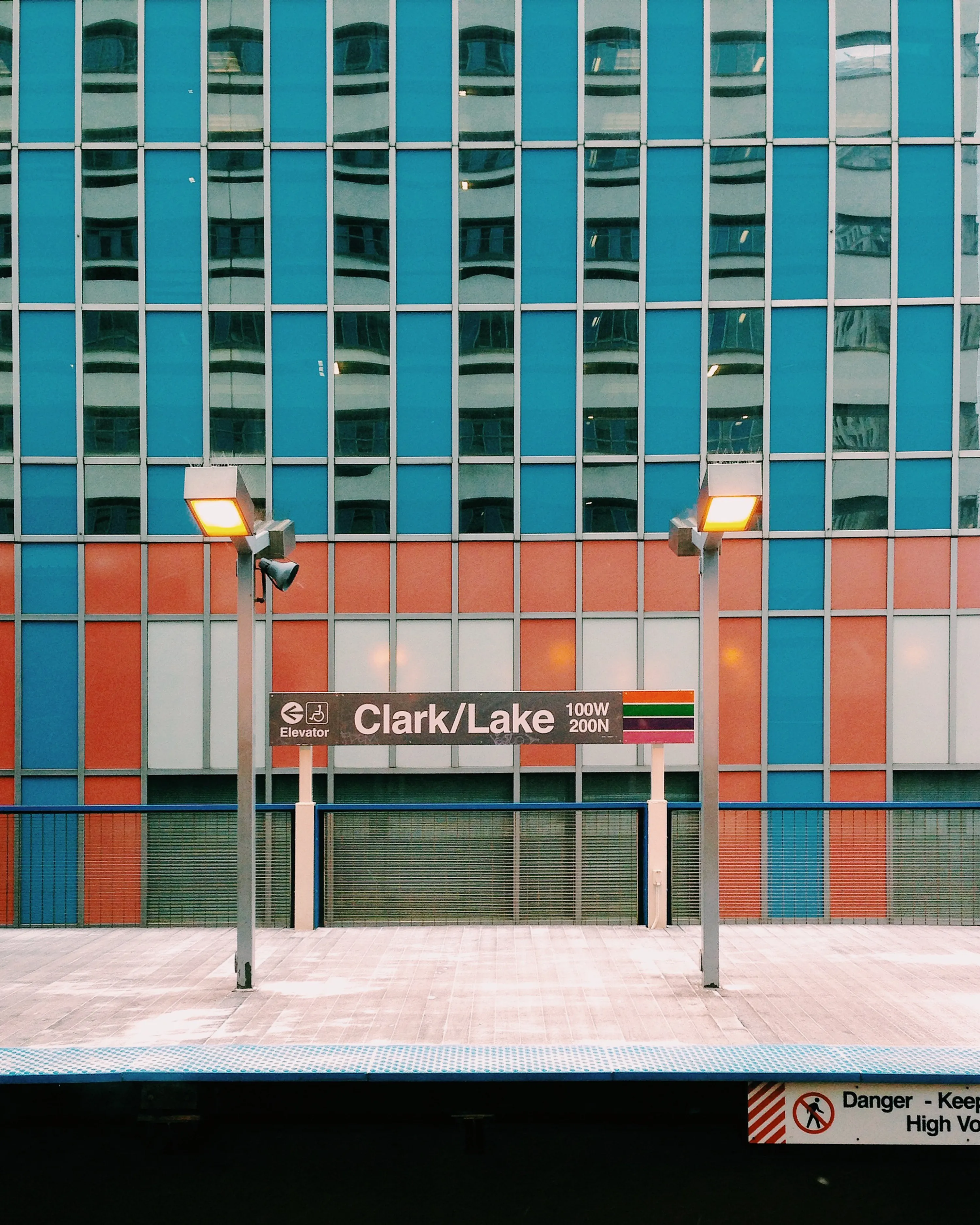
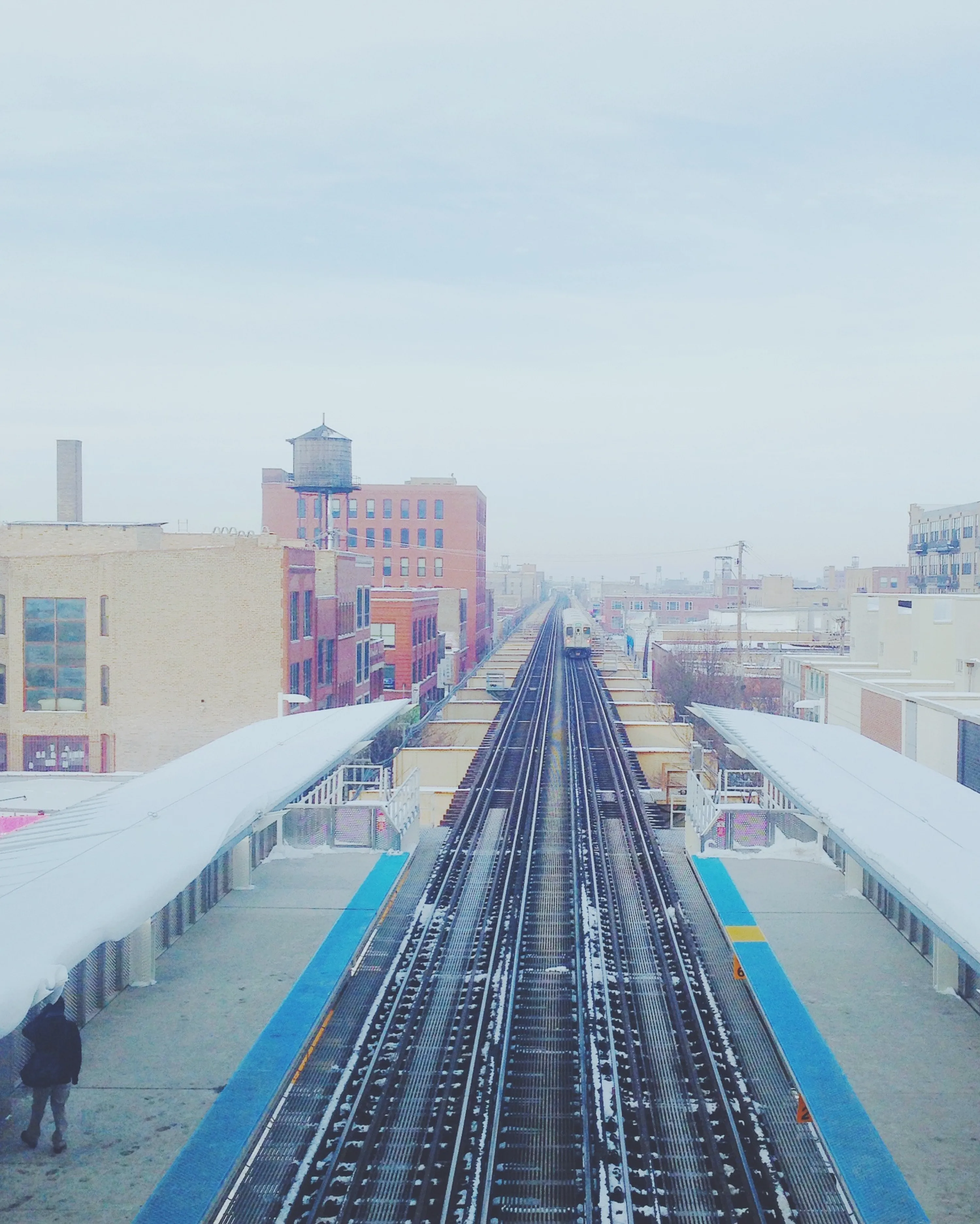
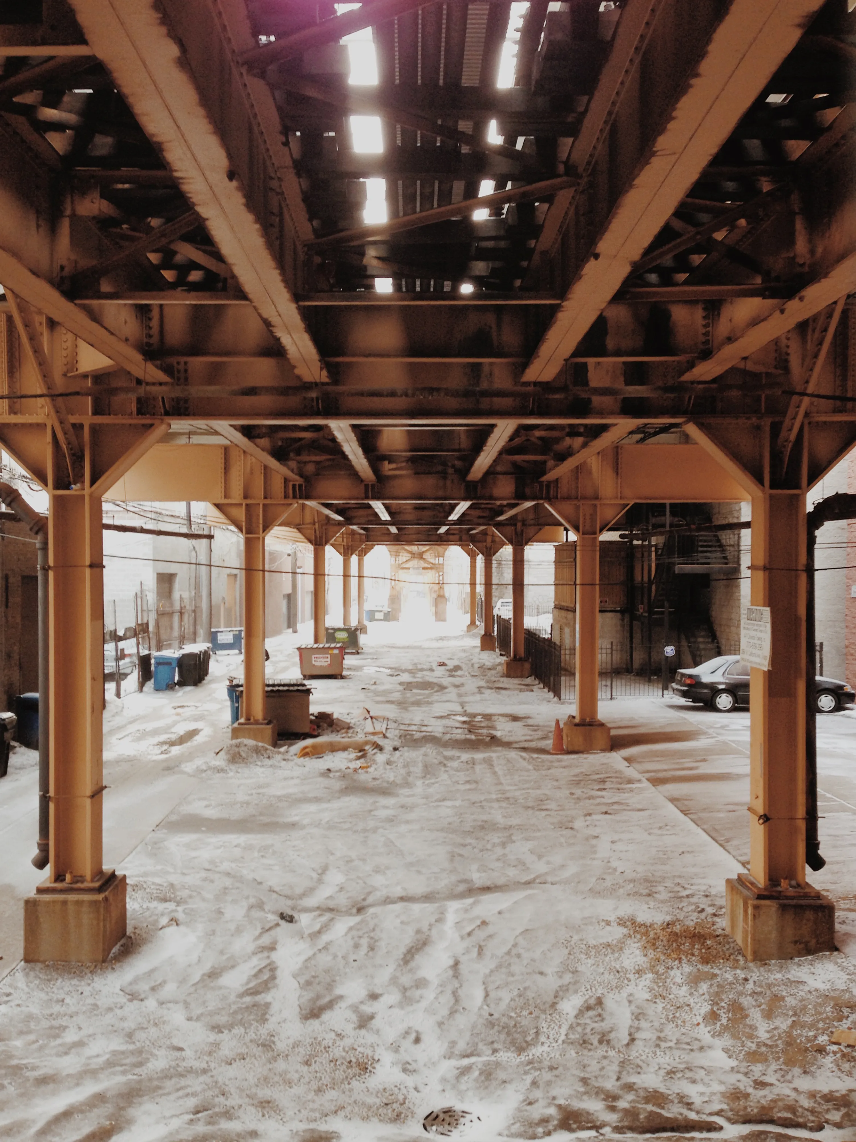
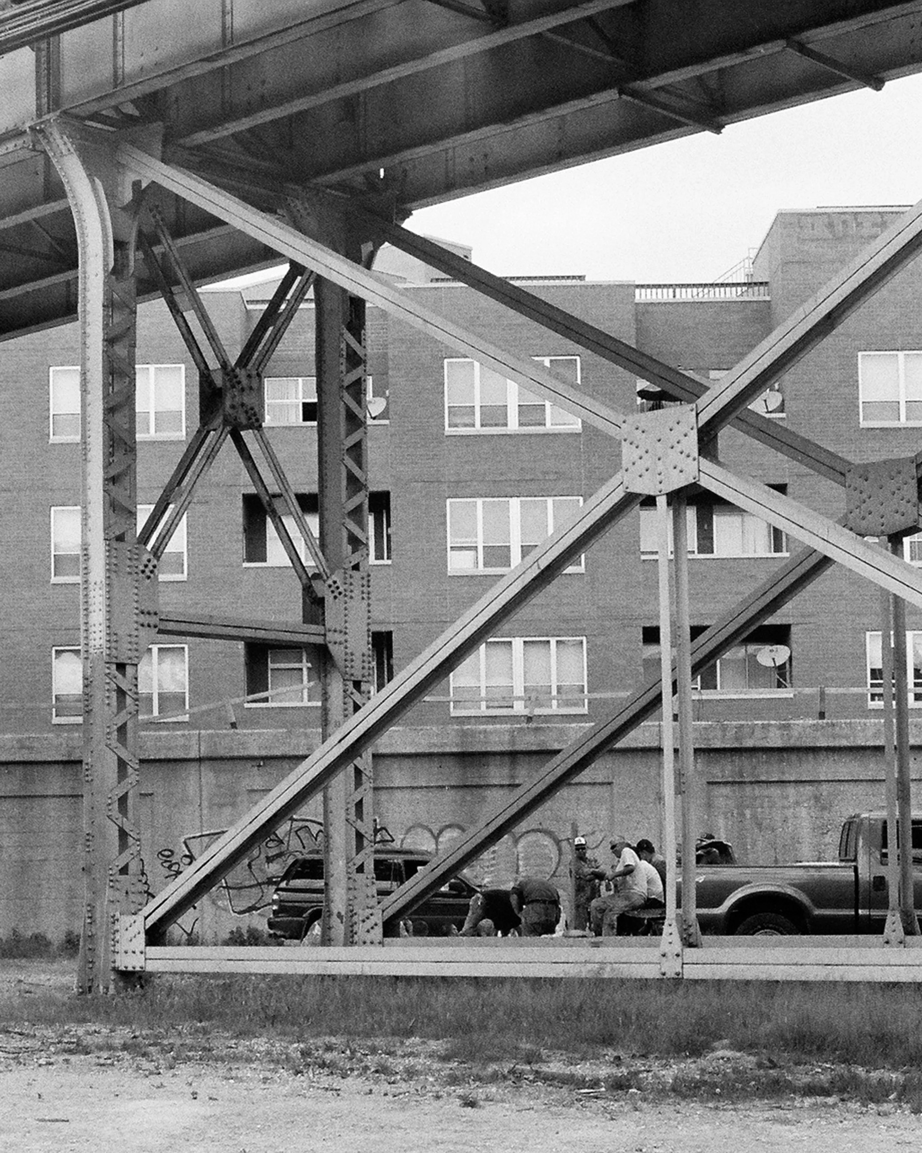
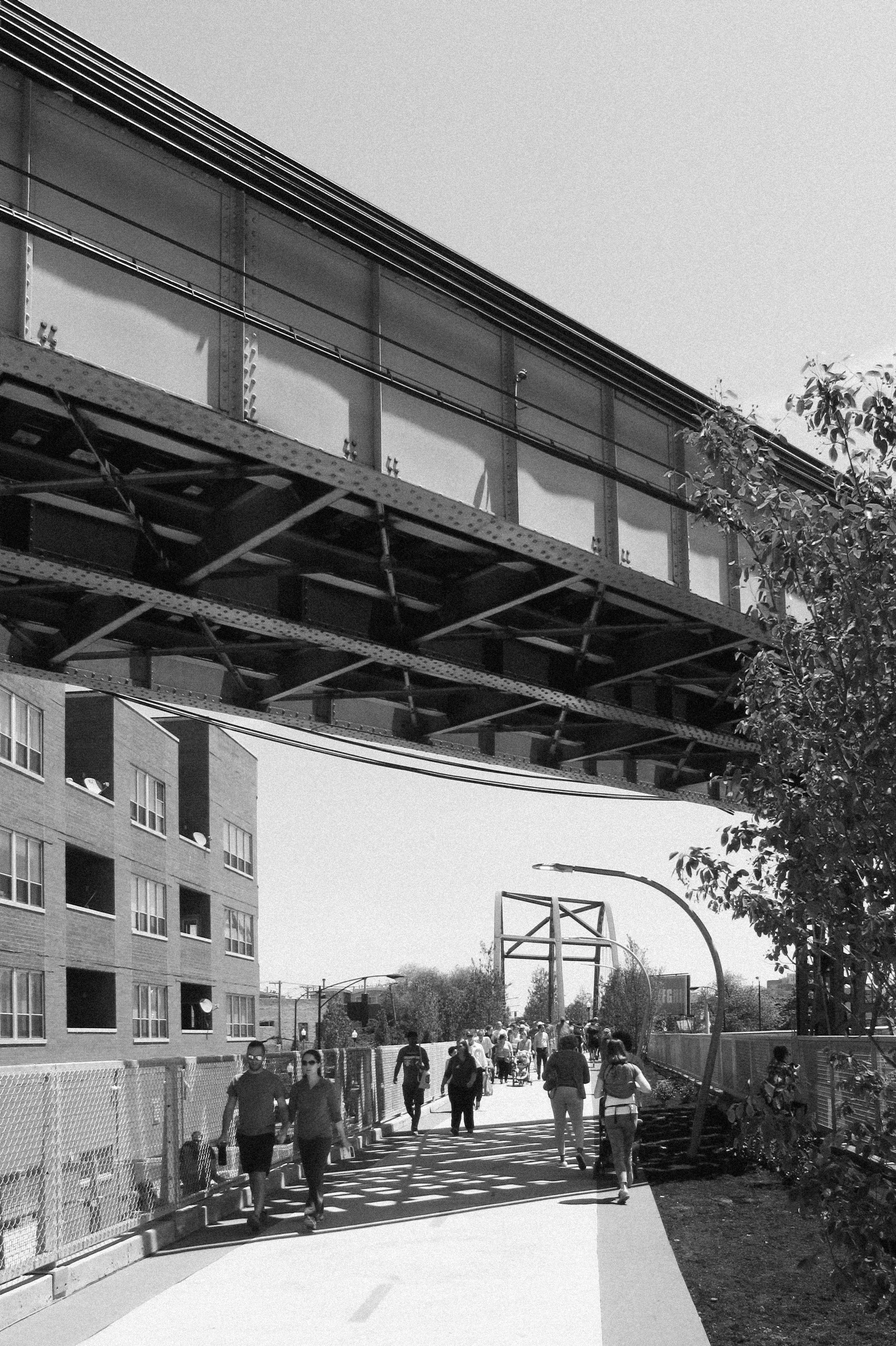
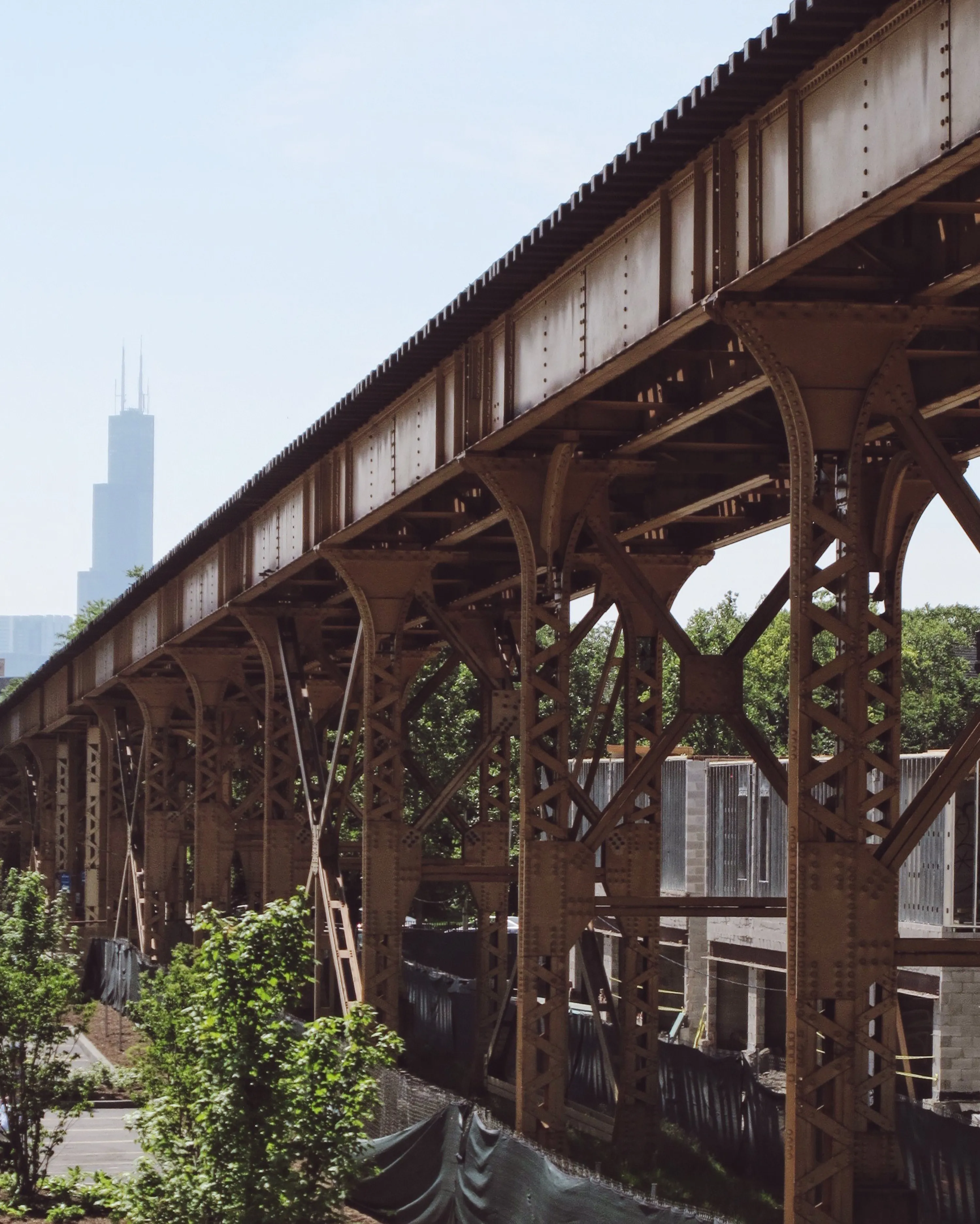
Named for its stretches of “elevated” tracks, the 'L' is Chicago’s primary public transit system, centered around the city’s downtown and branching outward into the surrounding residential neighborhoods. As the elevated tracks move through neighborhoods they bridge over roads, cut between alleys, and squeeze around buildings. The following is a collection of photos exploring the uniquely urban spaces created above, below, and adjacent to Chicago’s 'L'.

Related content:

Check out Krueck+Sexton Architects' latest project, 'L'eftspace: A radical proposal to bring new life to one of Chicago's elevated trains, in the new exhibition 50 Designers, 50 ideas, 50 Wards at the Chicago Architecture Foundation.

John K. Zacherle
Project Architect / AIA, Leed AP

"Elevated" Space 01 News

The meeting of Industrial & Classical Orders. A classically detailed building occupies the space beneath the industrial steel structure of the 'L' tracks at Chicago & Franklin, a few blocks north of the offices of Krueck+Sexton Architects.

"Elevated" Space 02 News

A view eastward towards Lake Michigan along Lake Street at the northern side of the downtown 'Loop'. The central commercial and civic center of Chicago is better known by its residents as the 'Loop', a reference to the looped path of elevated tracks that circle the district.

"Elevated" Space 03 News

The Thompson Center creates a pastel colored backdrop for the elevated platform at the Clark/Lake station in the 'Loop'. Since Illinois' Governor announced in 2015 the state's proposed plan to sell the building, the future of Helmut Jahn's controversial post-modern design has been in question and now tops Preservation Chicago's list of Most Threatened Buildings.

"Elevated" Space 04 News

An infinite view westward on a hazy winter morning from the pedestrian bridge at the Morgan Street Green Line Station. The 'L' cuts through the historic Fulton-Randolph Market District in Chicago's Near West Side.

"Elevated" Space 05 News

At the Western Avenue Blue Line Station in Bucktown, a stair landing provides commuters with an endless view corridor of the under-utilized space below the "L".

"Elevated" Space 06 News

On a hot summer afternoon in Bucktown, these construction workers retreat to the shade of elevated tracks near The 606 trail.

"Elevated" Space 07 News

A moment of shade on the The 606 trail for joggers, walkers and bikers where the 'L' passes overhead.

"Elevated" Space 08 News

Glimpses of new construction underway around the 'L' tracks in the neighborhood of Wicker Park. The Willis Tower (formerly the Sears Tower) stands tall in the background, orienting commuters to their location in relationship to the 'Loop'.